Public participation. Sustainable land use.
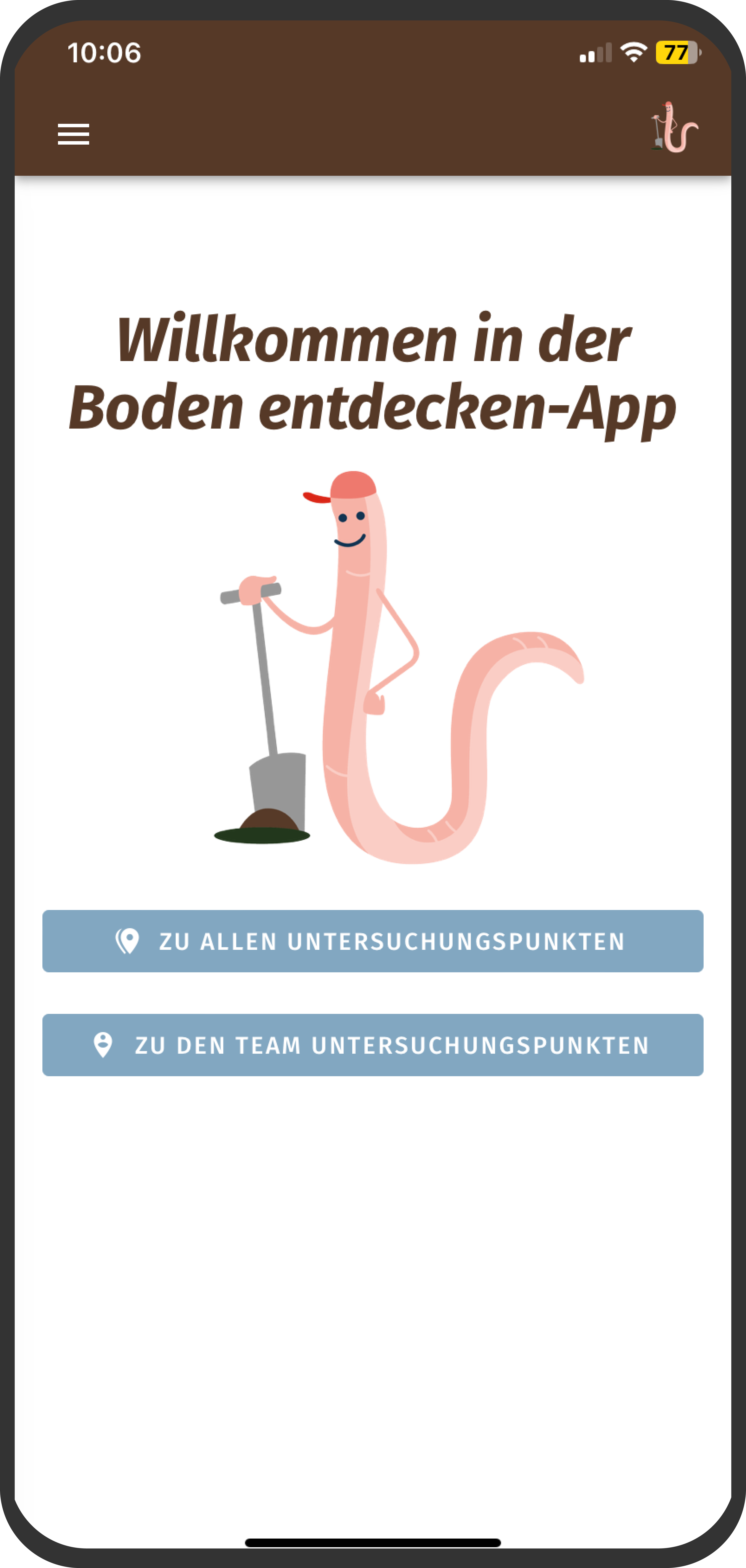
A citizen science project with the BTU Cottbus-Senftenberg to map soil quality in the Lusatian mining district. With our app, participants learn step by step how to determine the quality of the soil.
The soil is mapped together with local residents. The open data generated supports local authorities and land users in making decisions and provides information on the bioeconomic usability of these landscapes.
Enable participatory science and data collection. Create Awareness.
We have developed an progressive web app that allows users to enter data on their mobile phone and analyse the soil while they are involved in the scientific process. The data input is also available offline and can be synchronised later. The aim is to raise awareness of sustainable land use and better soil protection. The app offers a variety of functions for managing accounts, survey points and data flow.
READ MOREAbout Citizen Science
Citizen science involves the active participation of citizens during a research process. Participation ranges from the generation of questions, the development of a research project, data collection and scientific analysis to the communication of research results. Collaboration can take very different forms. The common goal of all citizen science projects is the creation of new knowledge.
READ MOREAn App to enable data collection and research


Signup: Anyone who wants to join the project can easily signup in the app.
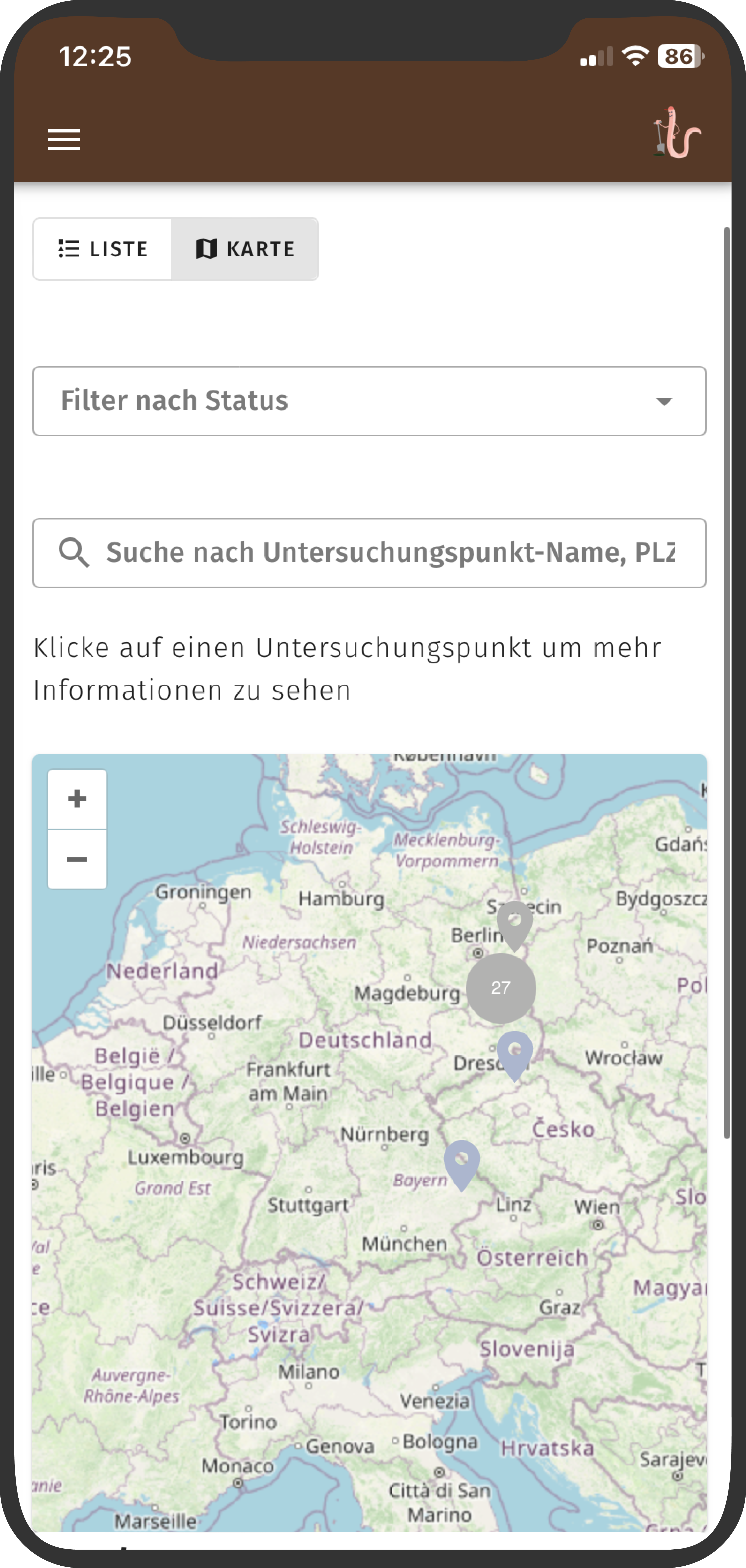
Measurement locations: The app allows teams to view measurement locations and start entering data. Points are listed according to their status in a list view and a map view. The map view is based on Open Layers and OpenStreetMap.
Create measurement location: Administrators can create new measurement locations, while users can suggest new locations.
Information and evaluation: It is possible to view information on measurement locations as well as evaluations and the calculated score for the soil quality.


Get involved
On the project website, people can interactively dive into the topic of soil. A quiz section tests and expands knowledge about the chemistry, flora and fauna of soil. The aim is to sensitize people to the topic in a playful way and spark their interest. Administrators can create new quiz sections and questions in the app, which can then be accessed on the website.
READ MOREGet involved
On the project website, people can interactively dive into the topic of soil. A quiz section tests and expands knowledge about the chemistry, flora and fauna of soil. The aim is to sensitize people to the topic in a playful way and spark their interest. Administrators can create new quiz sections and questions in the app, which can then be accessed on the website.
READ MOREEvaluation of the data & score calculation
A Python backend was developed for the app, based on technologies such as FastAPI, FastAPI-Users, Pydantic and SQLAlchemy. The data is stored in a PostgreSQL database. The score, which differentiates the soil quality, is based on the measured values collected by citizens and follows a calculation developed by the BTU.
The calculation is based on the Müncheberg Soil Quality Rating (SQR), a scale from 0 to 100. To make the app accessible for practical use, the calculation has been simplified. After collecting the data, geoscientists can check the data and use laboratory results to improve the accuracy of the score calculation.
Next Case Study
Bertelsmann Stiftung
This website does not use tracking cookies. The only external service we utilize is the Google Maps API to display our office location.
If you prefer not to use Google Maps, you can opt out below. For more details, please refer to our data privacy policy here.
Join the conversation with our Social Data Science Quarterly newsletter.
Our Social Data Science Quarterly newsletter provides an overview of our current work. It is aimed at anyone interested in keeping up with new data solutions, tools, and the latest in social data science, civic tech, and the open-source community.
SUBSCRIBE